Urban planning
The task of urban planning is to steer the development of the city in a targeted manner and thus develop the best possible structure for the general public. This includes the designation of residential and commercial areas as well as the development of holistic concepts for connected areas such as the city center or the important issues of retail and transport.
All citizens are part of the general public, which is why there are various ways for you to participate. On the one hand, you can comment on every procedure or express your opinion on the topics of urban renewal. In addition, there are always specific participation opportunities for individual projects, which we will inform you about in the press and on theWebsiteinform.
The central instrument of urban planning is urban land-use planning. It is structured in two stages:
- The land use plan sets out the main features of land use for the entire urban area.
- The development plan regulates the specific buildability of the individual plots.
In principle, urban planning operates in a supra-local context and must be guided by the requirements of the district of Kleve, the district government of Düsseldorf, the state of North Rhine-Westphalia and the federal government. All topics relating to "Mobility" can be found here.
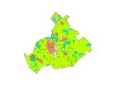
Land use plan
Land use plan for the pilgrimage town of Kevelaer
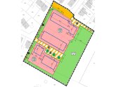
Development plan
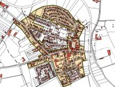
Example of a residential area
Statutory areas
Example of a charter area
Design advisory board
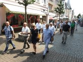
The design advisory board on a tour of the city
City center renewal
2016 - 2027
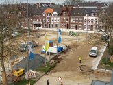
Completed and ongoing projects
